Publisher's Synopsis
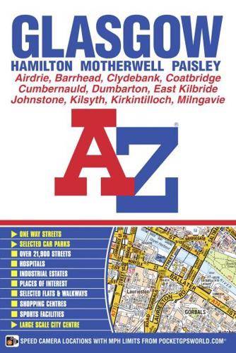
This A-Z map ofGlasgow is a full colour, paperback street atlas featuring 168 pages of continuous street mapping which includes coverage of:•Hamilton•Motherwell•Paisley•Clydebank•Coatbridge•Airdrie•Renfrew•Kirkintilloch•Dumbarton•Milngavie•Cumbernauld•Johnstone•Barrhead•East Kilbride•Larkhall•CarlukeIn addition, there is a four page, large scale city centre map of Glasgow.Postcode districts, one-way streets and safety camera locations with their maximum speed limit are featured on the mapping.Also included are:•a postcode map of the Glasgow area•a road map of the Glasgow area•a Glasgow Rail and Underground Connections mapThe index section lists streets, selected flats, walkways and places of interest, park and ride sites, place, area and junction names, rail and underground stations. There is a separate list of hospitals and hospices covered by this atlas.