Publisher's Synopsis
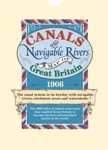
The canal system in its heyday with navigable rivers, catchment areas and watersheds. The 4000 miles of inland waterways that enabled Great Britain to become the first industrialised nation in the world.

Sheet Map (10 Jul 2011)
Not available for sale
Includes delivery to the United States
Out of stock
The canal system in its heyday with navigable rivers, catchment areas and watersheds. The 4000 miles of inland waterways that enabled Great Britain to become the first industrialised nation in the world.
| ISBN: | 9781873590928 |
| Publisher: | Bloomsbury Publishing (UK) |
| Imprint: | Old House Books |
| Pub date: | 10 Jul 2011 |
| Language: | English |
| Weight: | 85g |
| Height: | 792mm |
| Width: | 532mm |
| Spine width: | 1mm |