Publisher's Synopsis
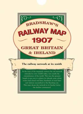
A detailed map of the railway network at its zenith. At the turn of the twentieth century the rail network in Britain and Ireland extended to over 23,000 miles, very nearly the circumference of the world. This was the greatest length it was ever to achieve for already some urban routes had lost the fight with electric trams and, later, culminating in the Beeching axe, hundreds of rural lines and stations were closed. This map shows the network in its heyday before the decline commenced. This map shows lines in England, Scotland, Wales and Ireland with detailed enlargements of the major conurbations. The great main lines with major stations and termini are marked as well as many small village halts on the humble country branch lines. The map bears witness to the culmination of the gargantuan engineering feat which produced 23,000 route miles in the 82 years since the first 25 miles of railway was completed between Stockton and Darlington in 1825. Compare that to the less than 11,000 miles we have a century later and use the map to explore the hundreds of routes, with their stations, which ran through so many parts of the country but survived for no more than a few generations before succumbing to the march of progress which favoured alternative means of transport.