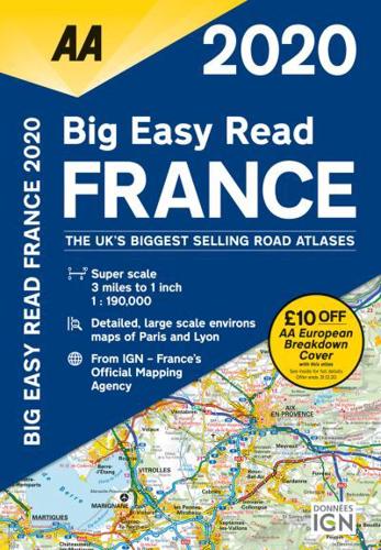
Big Easy Read France 2020
Spiral / Comb Bound (30 May 2019)
Not available for sale
Includes delivery to the United States
Out of stock
Check stock
Fully revised and updated for 2020, this specialist easy-to-read, A3 road atlas includes 44 city, town and port plans, central Paris city plan, and district maps of Paris and Lyon. Coverage includes road mapping for Corsica plus there is a channel hopping guide with channel tunnel terminal, port plans and ferry information. 3 miles to 1 inch 1:190,000 - 1.9km to 1cm.
Book information
| ISBN: | 9780749581374 |
| Publisher: | AA Publishing |
| Imprint: | AA Publishing |
| Pub date: | 30 May 2019 |
| Language: | English |
| Number of pages: | 272 |
| Weight: | 1208g |
| Height: | 365mm |
| Width: | 394mm |
| Spine width: | 20mm |


