
Publisher's Synopsis
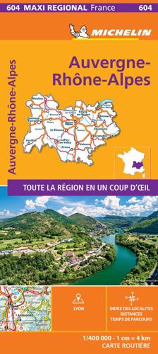
Michelin Maxi Regional Map - AUVERGNE-RHONE-ALPES, France - Auvergne-Rhône-Alpes (ARA) is an administrative region in South Eastern France. This map will provide you with an extensive coverage of primary, secondary and scenic routes for this region. In addition to Michelin's clear and accurate mapping, this maxi regional map includes all the practical information for a trouble free journey, including major town plans as well as tourism information. Picturesque routes are bordered by a green border. With MICHELIN Regional Maps, find more than just your way! MICHELIN REGIONAL MAPS include practical information for a trouble free journey and show primary & secondary road networks. * Administrative boundaries * Scenic routes and tourist sights * Place name index * Time and distance charts * Plans for a selection of major towns * Practical information: danger alerts, service stations, picnic areas (Recto verso)


