Philip's Europe Road Map

Philip's Europe Road Map

Paperback (02 Mar 2015)

Not available for sale

Includes delivery to the United States

Out of stock

This service is protected by reCAPTCHA and the Google Privacy Policy and Terms of Service apply.

Publisher's Synopsis

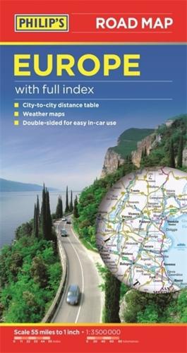
Philip's Europe Road Map shows the whole of Europe at a standard scale of 1:3.5M (1 cm on the map = 35 km on the ground). The map includes a comprehensive index, city-to-city distance table, and summer/winter weather maps.The double-sided map has been specially prepared for long-distance travel, picking out major routes and destinations in bold colours for easy journey planning and route-finding, and is a convenient size for use in a vehicle.The digital mapping gives excellent clarity, showing road networks in exceptional detail for this scale. A comprehensive index includes all towns and villages shown on the map.

About the Publisher

Philip's

Philip's

Philip?s is one of Britain's best-known map, atlas and reference book publishers. It publishes many long established market leading titles across road and street atlases, as well as astronomy and reference. Philip?s is now leading the way with innovative new product for a rapidly evolving market.

Book information

ISBN: 9781849073561
Publisher: Octopus
Imprint: Philip's
Pub date:
Language: English
Number of pages: 2
Weight: 80g
Height: 248mm
Width: 124mm
Spine width: 14mm