Philip's Isle of Man

Philip's Isle of Man Leisure and Tourist Map - Philip's Red Books

Paperback (02 Apr 2012)

Not available for sale

Includes delivery to the United States

Out of stock

This service is protected by reCAPTCHA and the Google Privacy Policy and Terms of Service apply.

Publisher's Synopsis

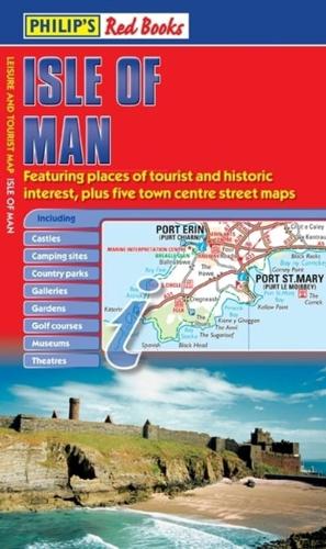
This leisure and tourist map of the Isle of Man gives detailed coverage of the island's road network at a scale of approximately 1.2 miles to 1 inch. It also includes town centre street maps for Castletown, Douglas, Peel, Port Erin and Port St Mary, and Ramsey.The map shows places of tourist and historic interest, including castles, camping sites, country parks, galleries, gardens, golf courses, marinas, museums, nature trails, historic sites, sports venues, theatres, theme parks, wildlife parks and zoos. An index to principal places of interest (including TT course vantage points) is also featured.In a convenient folded format, this single-sided sheet map is ideally suited for both leisure and business use, whether by locals or visitors.

About the Publisher

Philip's

Philip's

Philip?s is one of Britain's best-known map, atlas and reference book publishers. It publishes many long established market leading titles across road and street atlases, as well as astronomy and reference. Philip?s is now leading the way with innovative new product for a rapidly evolving market.

Book information

ISBN: 9781849072199
Publisher: Octopus
Imprint: Philip's
Pub date:
Language: English
Number of pages: 1
Weight: 70g
Height: 870mm
Width: 600mm
Spine width: 6mm