Publisher's Synopsis
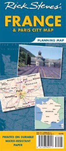
Designed specifically for Rick's travel audience (or users) these maps highlight choice destinations throughout France, from Calais to Corsica, in a colourful, easy-to-use format on high-quality paper that lasts over many trips: Cuts the Clutter: While big cities are left for navigational purposes, this map is otherwise stripped clean and filled in only with places that matter to travellers. Guidebook-Friendly: At a glance, all the places you read about in Rick's France and Paris guidebooks pop right out in a crisp, easy-to-read format. Rail or Road: Includes important train lines and highways (and ferry routes) for easy route-planning, no matter how you'll get around. The Back's Even Better: The reverse side includes a colourful, detailed heart of Paris map, locating sights, hotels and restaurants from Rick's Paris guidebook. A handy Paris Metro map, too!