Publisher's Synopsis
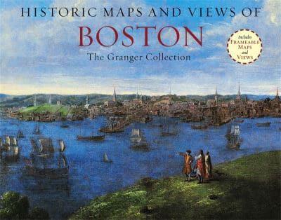
Historic Maps and Views of Boston contains twenty-four historic maps and views of Boston and its environs?dating from the 1600s through the present?ready for framing in a custom format or in a standard 11? x 14? frame. This stunning and fascinating selection of images from The Granger Collection includes the first surviving map of Boston (and also the first to be printed in America), an engraving by Paul Revere of the British landing in 1768, a bird?s-eye view of the City, color photographs of the swan boats in the Public Garden, and stunning oil paintings of Boston Harbor and Columbus Avenue. Each image?s original printing information is provided, as well as additional information that places it in historic context and further illuminates its qualities. Each image is exquisitely reproduced to show off its color and detail.The perfect gift for lovers of travel, history, or art.Other titles in this series include:Historic Maps and Views of San FranciscoHistoric Maps and Views of ChicagoHistoric Maps and Views of the Old SouthHistoric Maps and Views of New YorkHistoric Maps and Views of LondonHistoric Maps and Views of RomeHistoric Maps and View of Paris