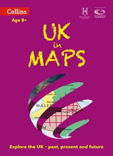
UK in Maps

UK in Maps - Collins Primary Atlases

Second edition

Paperback (07 Feb 2019)

Save $3.49

  • RRP $10.04
  • $6.55
Add to basket

Includes delivery to the United States

10+ copies available online - Usually dispatched within one working day

Publisher's Synopsis

This multi-topic atlas of the UK introduces the most relevant topics to reflect the Geography Key Stage 2-3 requirements of the National Curriculum.

This collection of maps can be used to investigate different themes and topics. It tells a story in maps, diagrams, charts, words and photographs each of which presents information to compare and examine. Ideal for age 8+, with free downloadable activities.

We live on a remarkable planet and this atlas helps us to make sense of the UK today and understand how things came to be as well as how they might change in years to come.

Suggested activities on each spread encourage users to explorer further. Explore the range with World in Maps also available.

About the Publisher

Collins

Collins

Collins has been publishing educational and informative books for almost 200 years. Throughout this rich heritage we have maintained an impressive record in creating market-leading products across various sectors.

Book information

ISBN: 9780008271732
Publisher: HarperCollins Publishers
Imprint: Collins
Pub date:
Edition: Second edition
DEWEY: 912.41
DEWEY edition: 23
Language: English
Number of pages: 56
Weight: 234g
Height: 309mm
Width: 226mm
Spine width: 3mm