2000 Map of Ireland

2000 Map of Ireland

New edition

Sheet Map (folded) (06 Sep 1999)

Not available for sale

Includes delivery to the United States

Out of stock

This service is protected by reCAPTCHA and the Google Privacy Policy and Terms of Service apply.

Publisher's Synopsis

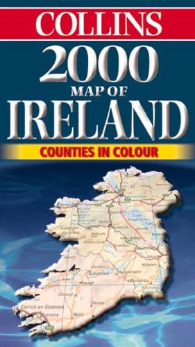
9 miles to 1 inch 1:570,000 approx Full colour map of Ireland with road network and counties clearly shown.MAIN FEATURES• Counties shown in colour• City centre plans of Dublin and Belfast• Mapping at 9 miles to 1 inch showing road networkINCLUDES• Places of tourist interest• Railway stations, airports and car ferry routes• Rivers, lakes and spot heightsAREA OF COVERAGECovers the whole of the Republic of Ireland and Northern Ireland. Includes city centre plans of Dublin and Belfast.WHO THE PRODUCT IS AIMED ATThis is a general purpose map but with a particular emphasis on political features. It can be used as a reference map and a route planning map.

About the Publisher

Collins

Collins

Collins has been publishing educational and informative books for almost 200 years. Throughout this rich heritage we have maintained an impressive record in creating market-leading products across various sectors.

Book information

ISBN: 9780004488677
Publisher: HarperCollins Publishers
Imprint: Collins
Pub date:
Edition: New edition
Language: English
Weight: 83g
Height: 245mm
Width: 140mm
Spine width: 5mm