
Publisher's Synopsis
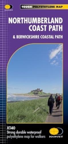
This revised Trail Map covers 94 miles in total. Starting on the Berwickshire Coastal Path from Cocksburnspath to Bernick-upton-Tweed, then continuing along the Northumberland Coast Path to Cresswell. Showing the updated Route which aligns with the new King Charles ||| England Coast Path. The XT40 is based on original HARVEY mapping with all the detail a walker would expect on a map at 1:40 000 scale. Uncluttered by information irrelevant to the walker and less than half the weight of a laminated map. Printed on tough, light and 100% waterproof paper. The entire route on one sheet Shows facilities and services along the route. Clear and easy to read mapping.


