
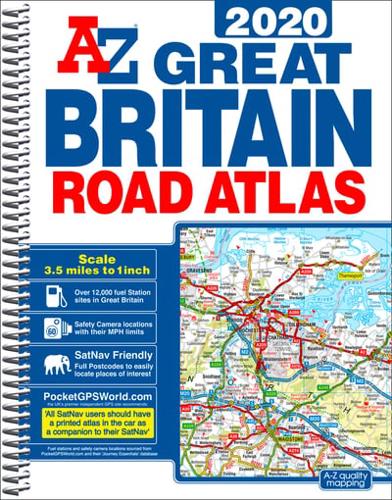
Publisher's Synopsis
This A-Z map of Great Britain is a full colour, spiral bound road atlas of approximately A4 size.•Fully updated for 2020•170 pages of clear detailed road mapping at a mainland map scale of 3.5 miles to 1 inch•11 pages of main route mapping covering Greater London, Birmingham and Manchester•Route planning maps•Mileage chart with average journey times•Information on motorway junctions with limited interchanges•80 city and town centre street plans•16 port and airport plans•Channel Tunnel terminus maps•Index to cities, towns, villages, hamlets and major destinations•Index to selected places of interest with postcodes for satnav use•Map reference information also in French and GermanInstantly recognizable and easy to use, A-Z road mapping includes the following features:•Clear standard road classification colours for easy identification•Full motorway junction detail•Under construction and proposed roads•Primary route destinations•Service areas•Selected safety camera locations with maximum speed limits*•Selected fuel stations*•Selected truckstop locations•National and county boundaries•A wide range of tourist and ancillary information, including Blue Flag BeachesA medium sized publication with a spiral binding; a popular choice for those wanting superb map clarity in an easy to keep open publication.*Safety camera & fuel station locations supplied by www.PocketGPSWorld.com Copyright 2019 + PocketGPSWorld.com.


