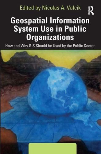
Geospatial Information System Use in Public Organizations

Geospatial Information System Use in Public Organizations How and Why GIS Should Be Used by the Public Sector

Paperback (21 Jan 2023)

Save $1.24

  • RRP $38.05
  • $36.81
Add to basket

Includes delivery to the United States

10+ copies available online - Usually dispatched within 7-10 days

Other formats/editions

Publisher's Synopsis

This book shows how Geospatial Information Systems (GIS) can be used for operations management in public institutions. It covers theory and practical applications, ranging from tracking public health trends to mapping transportation routes to charting the safest handling of hazardous materials. Along with an expert line-up of contributors and case studies, the editor provides a complete overview of how to use GIS as part of a successful, collaborative data analysis, and how to translate the information into cost-saving decisions, or even life-saving ones.

About the Publisher

Routledge

Routledge

Routledge is the world's leading academic publisher in the Humanities and Social Sciences. We publish thousands of books and journals each year, serving scholars, instructors, and professional communities worldwide. Our current publishing programme encompasses groundbreaking textbooks and premier, peer-reviewed research in the Social Sciences, Humanities, and Built Environment. We have partnered with many of the most influential societies and academic bodies to publish their journals and book series. Readers can access tens of thousands of print and e-books from our extensive catalogue of titles. Routledge is a member of Taylor & Francis Group, an informa business.

Book information

ISBN: 9781032475257
Publisher: Taylor & Francis
Imprint: Routledge
Pub date:
DEWEY: 352.380285
DEWEY edition: 23
Language: English
Number of pages: 286
Weight: 424g
Height: 228mm
Width: 153mm
Spine width: 19mm